
Maintenance, réparation et installation industrielle : Lachapelle-aux-Pots
1 fiche, par ordre alphabétique
Galerie : 42 photos « Maintenance, réparation et installation industrielle »
Sur la carte
Lachapelle-aux-Pots en bref
Lachapelle-aux-Pots est une commune d’une superficie totale de 985 hectares, son altitude varie entre 77 et 176 mètres.
- Population
- 1 500 hab.
- Superficie
- 9,85 km²
- Altitude
- 77 à 176 m
- Code postal
- 60650
- Département
- Oise
- Canton
- Le Coudray-Saint-Germer
- Intercommunalité
- CC du Pays de Bray
Lachapelle-aux-Pots en images
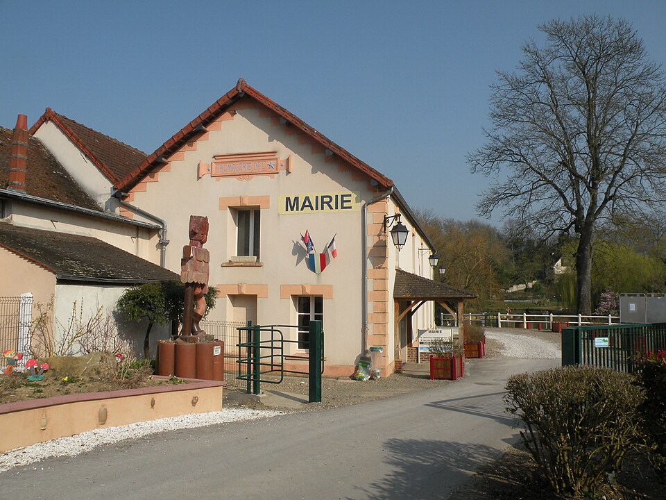
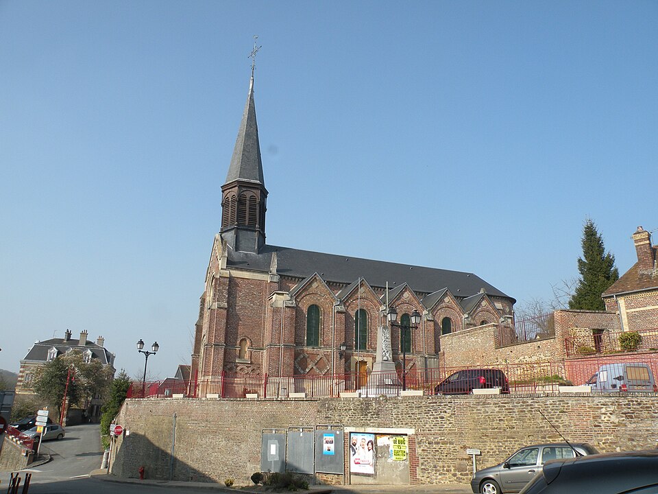
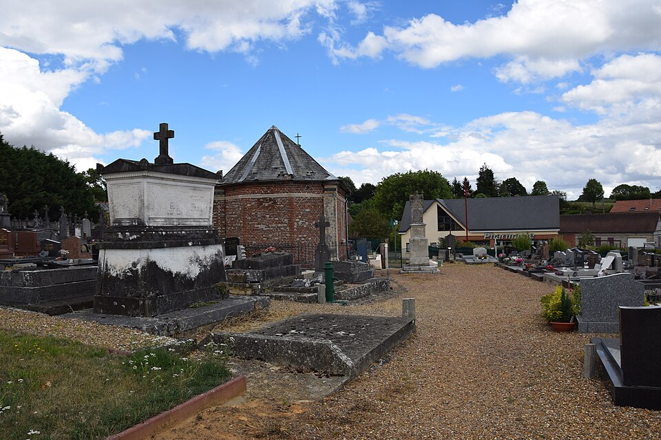
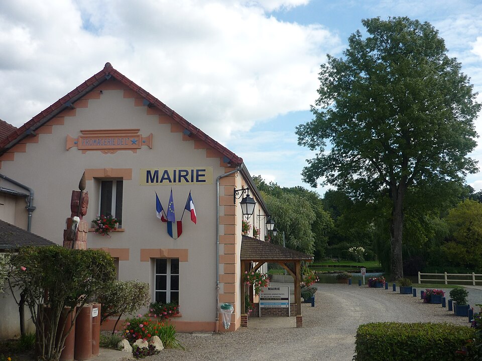
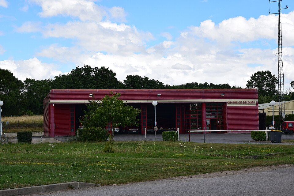
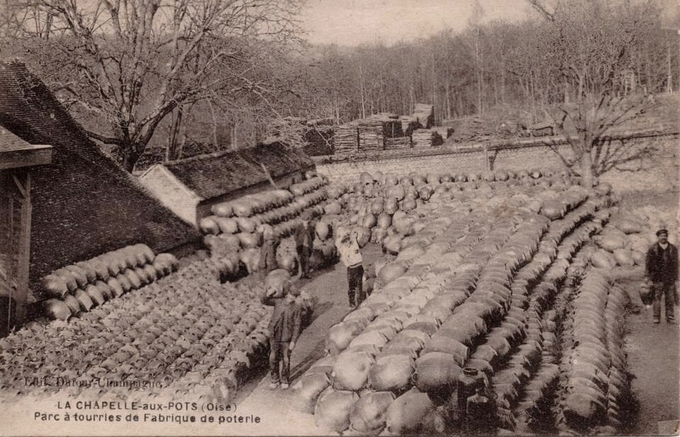
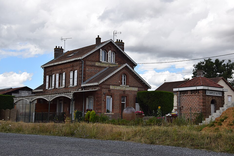
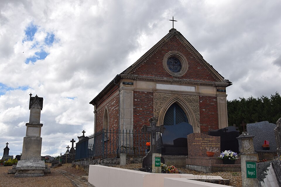
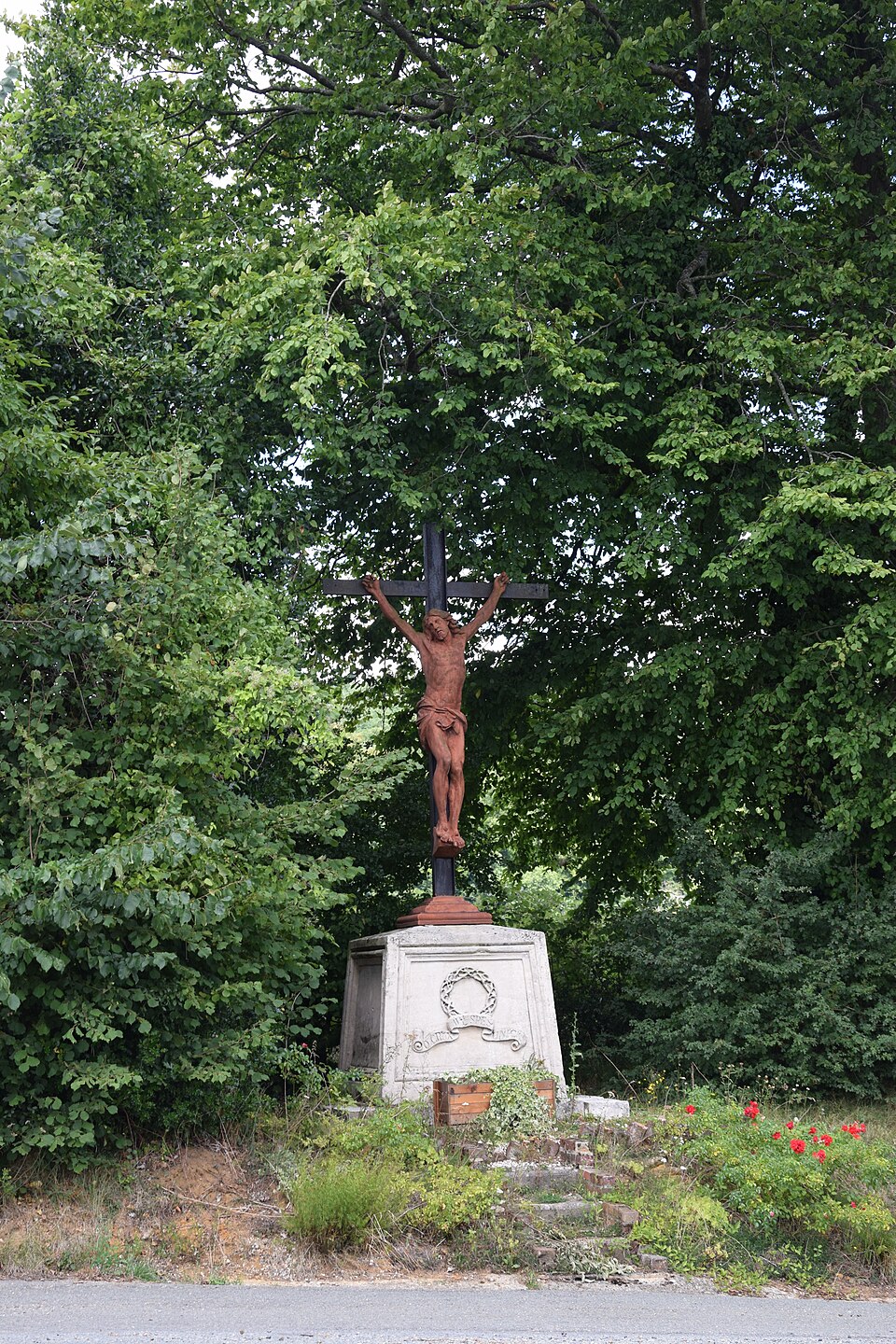
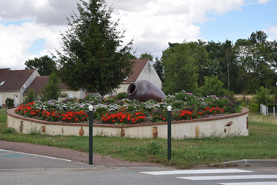
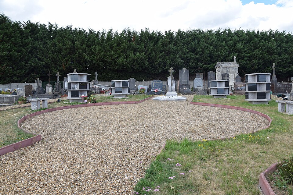
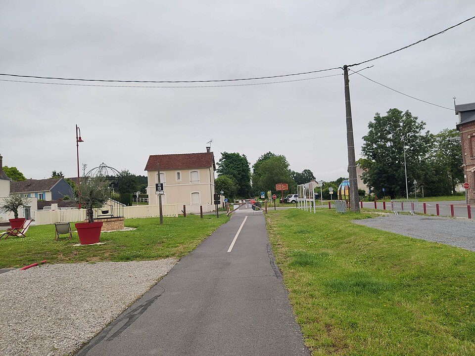
Images : blason Chatsam (domaine public) ; photo Chatsam (CC BY-SA 3.0), via Wikimedia Commons.