
Maintenance, réparation et installation industrielle : La Ferté-Saint-Aubin
7 fiches, par ordre alphabétique
Galerie : 42 photos « Maintenance, réparation et installation industrielle »
Sur la carte
EQUIPEMENT DEPANNAGE CUISINES PROFESSIONNELLES
ÉtablissementMDMI
ÉtablissementMDMI MAINTENANCE
ÉtablissementMDMI SERVICES
ÉtablissementMDMI SOLUTION
ÉtablissementMECAPLUS SARL
ÉtablissementSOLOGN'AGRI
ÉtablissementLa Ferté-Saint-Aubin en bref
La Ferté-Saint-Aubin est une commune d’une superficie totale de 8612 hectares, son altitude varie entre 93 et 137 mètres.
- Population
- 6 800 hab.
- Superficie
- 86,12 km²
- Altitude
- 93 à 137 m
- Code postal
- 45240
- Département
- Loiret
- Canton
- La Ferté-Saint-Aubin
- Intercommunalité
- CC du Canton de La Ferté-Saint-Aubin
- Site de la mairie
- www.lafertesaintaubin.com
La Ferté-Saint-Aubin en images
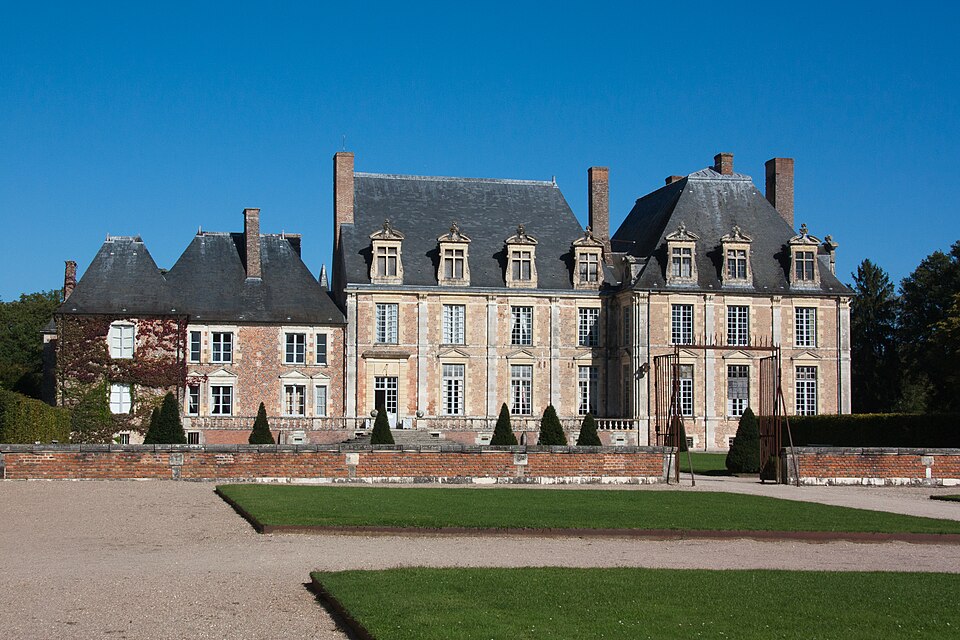
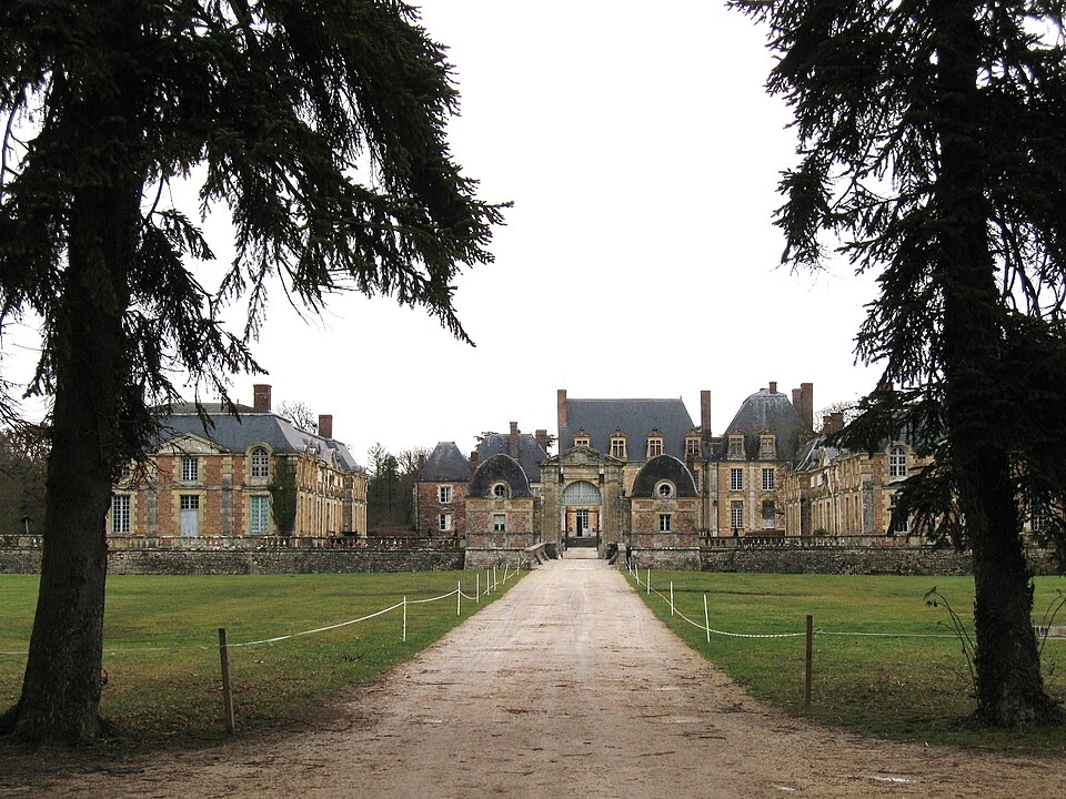
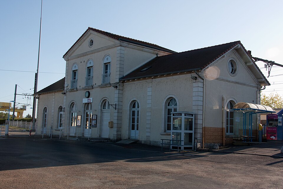
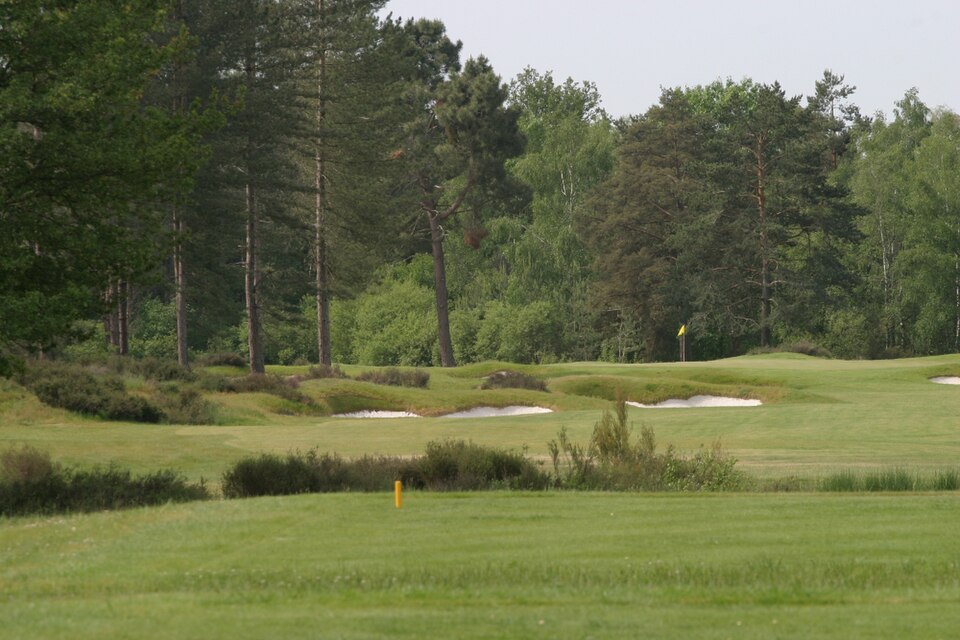
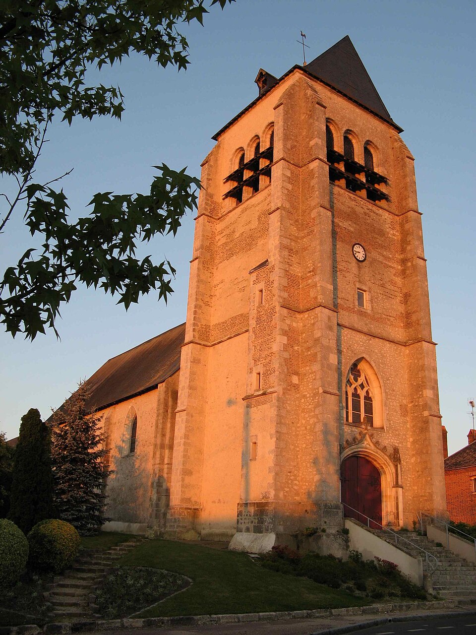
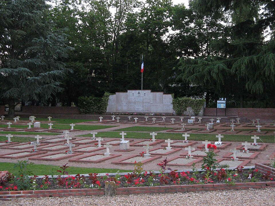
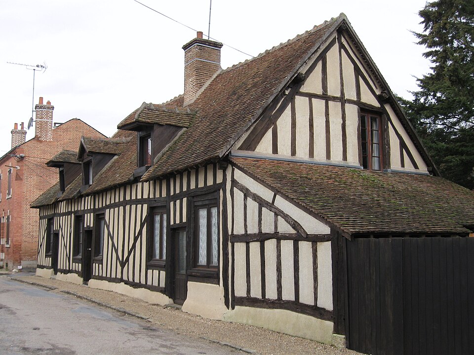
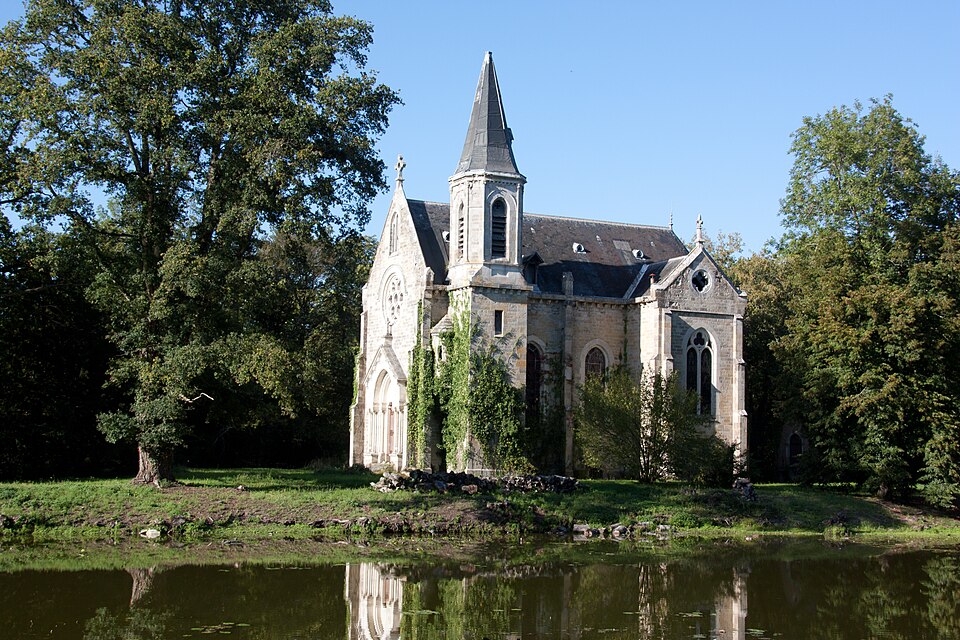
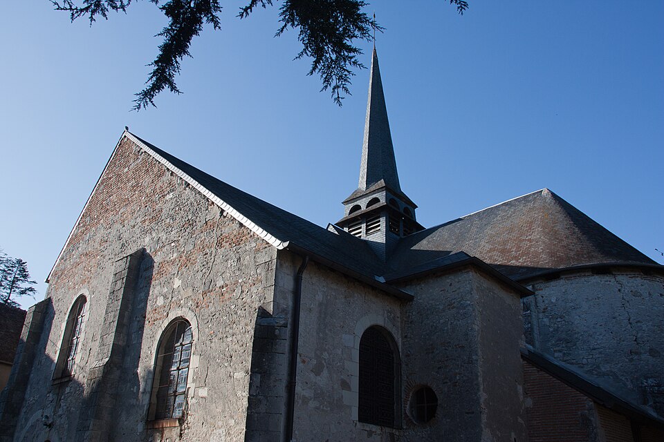
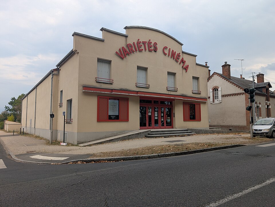
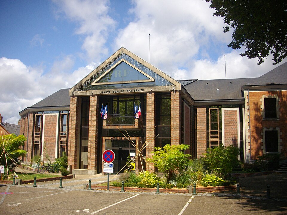
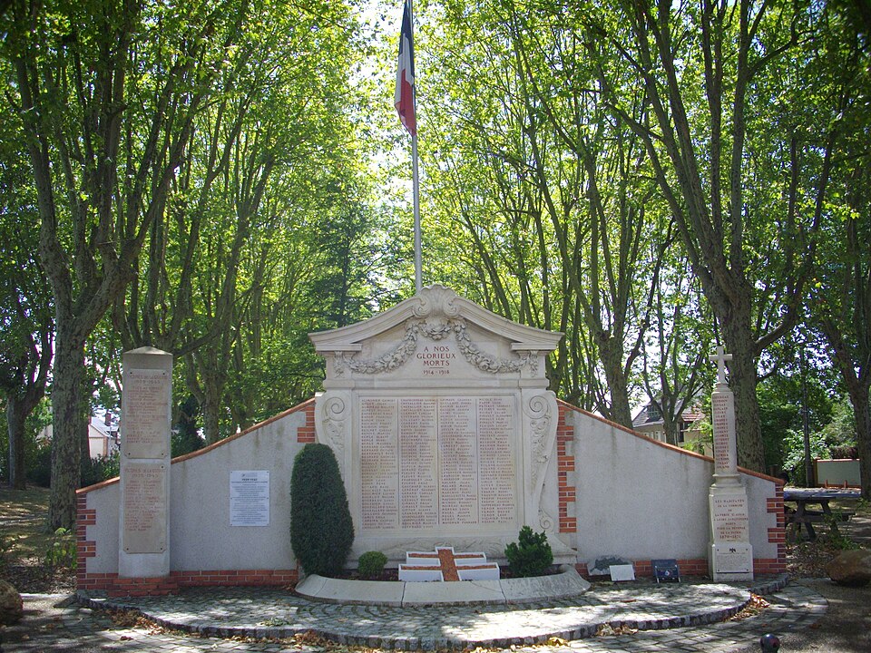
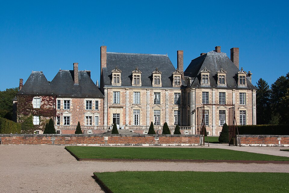
Images : blason Wikimedia Commons (CC BY-SA 3.0) ; photo Poudou99 (CC BY 3.0), via Wikimedia Commons.