
Chaudronnerie et structures métalliques : Romorantin-Lanthenay
2 fiches, par ordre alphabétique
Galerie : 625 photos « Chaudronnerie et structures métalliques »
Sur la carte
SOCIETE DE METALLERIE INDUSTRIELLE
ÉtablissementSOCIETE DE TOLERIE POUR L'ELECTRONIQUE PROFESSIONNELLE
ÉtablissementRomorantin-Lanthenay en bref
Romorantin-Lanthenay est une commune d’une superficie totale de 4531 hectares, son altitude varie entre 84 et 121 mètres.
- Population
- 18 400 hab.
- Habitants
- Romorantinais, Romorantinaises
- Superficie
- 45,31 km²
- Altitude
- 84 à 121 m
- Code postal
- 41200
- Département
- Loir-et-Cher
- Intercommunalité
- CC du Romorantinais
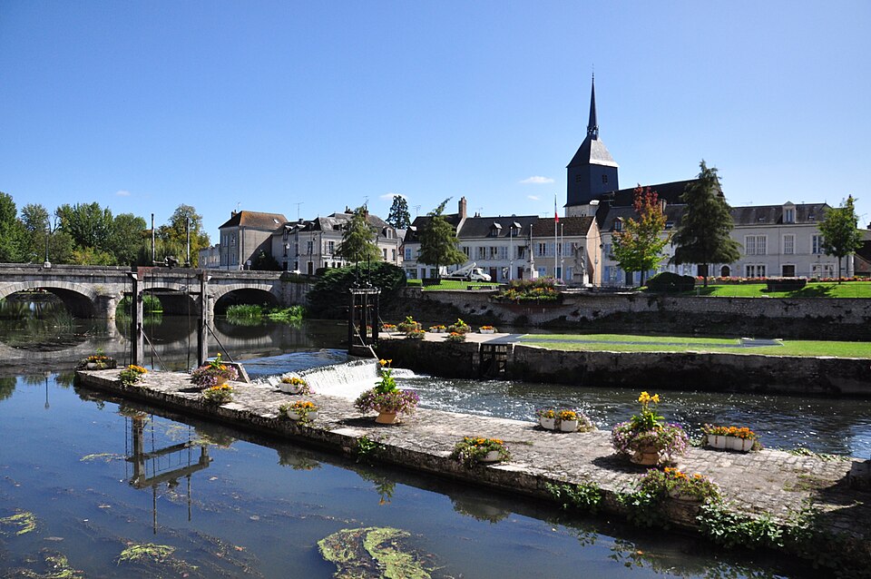
Romorantin-Lanthenay en images
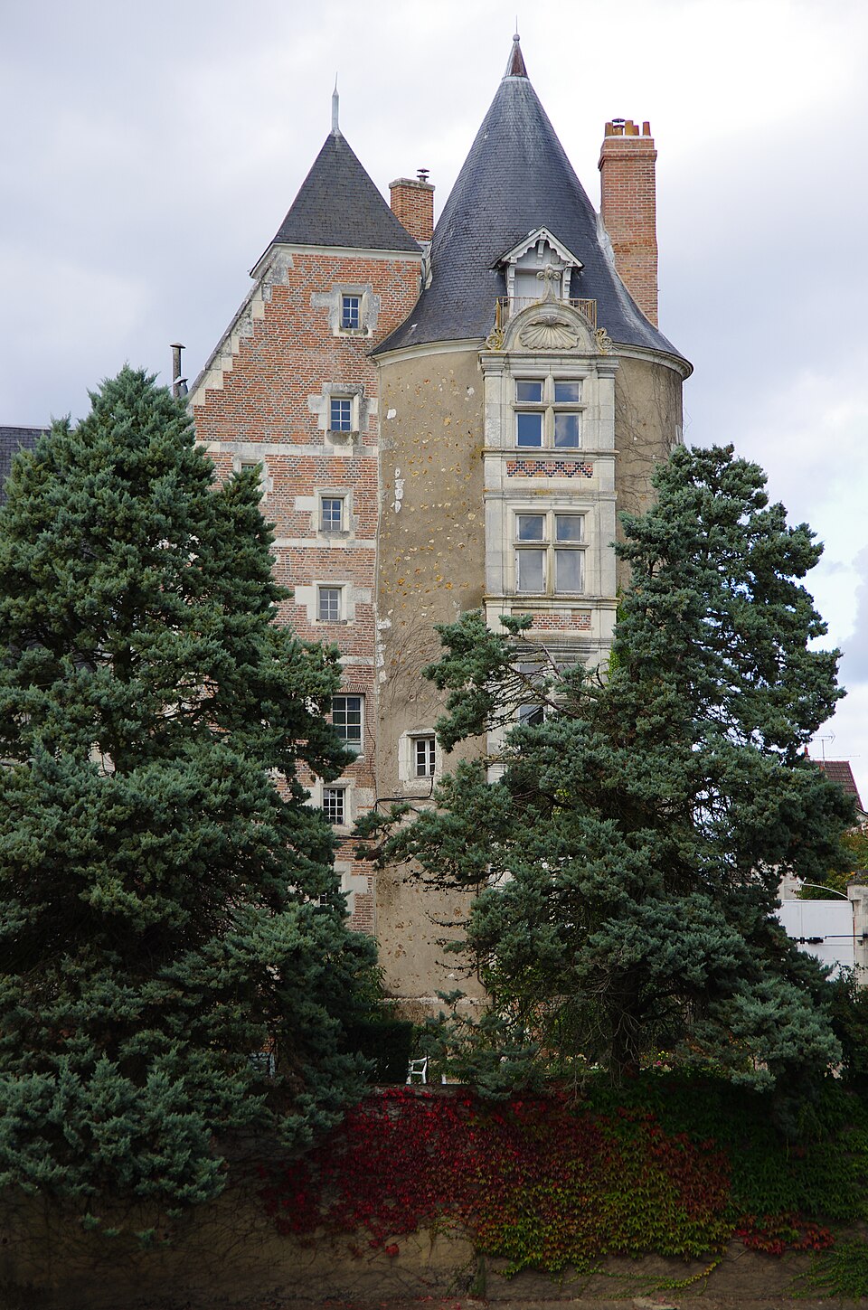
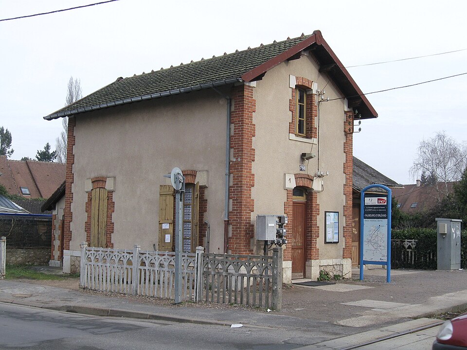
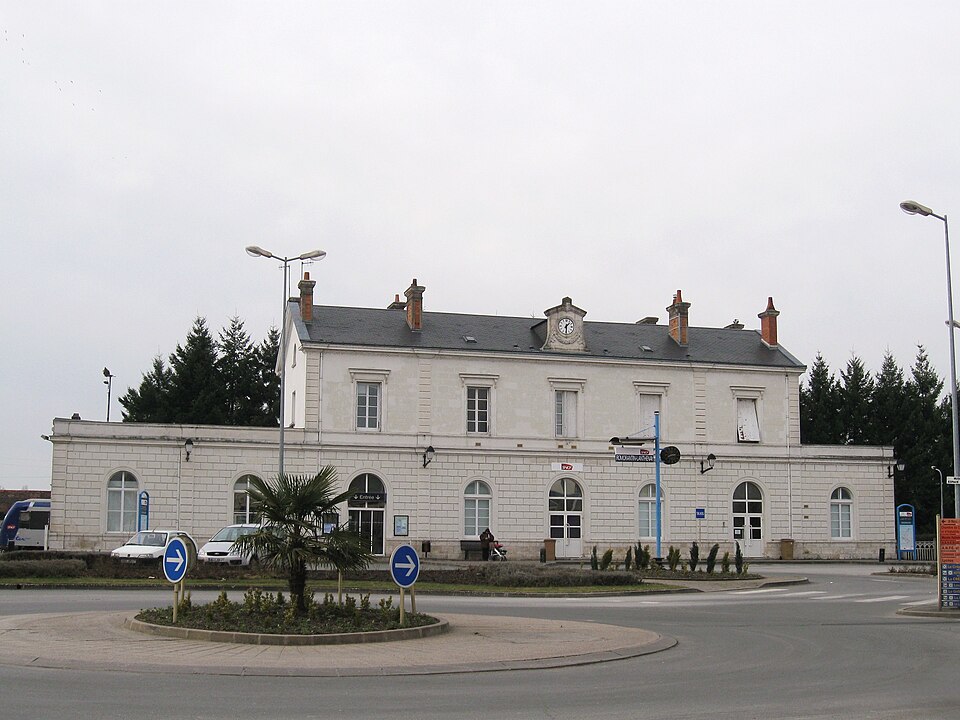
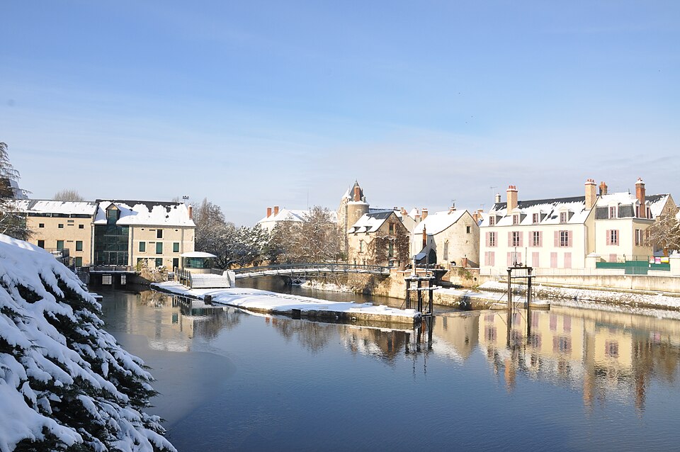
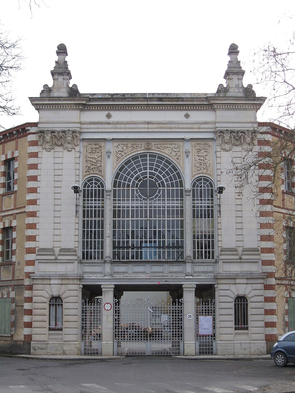
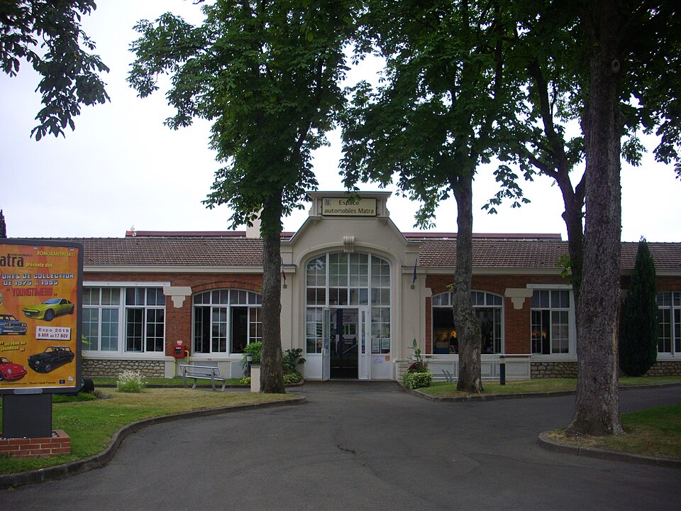
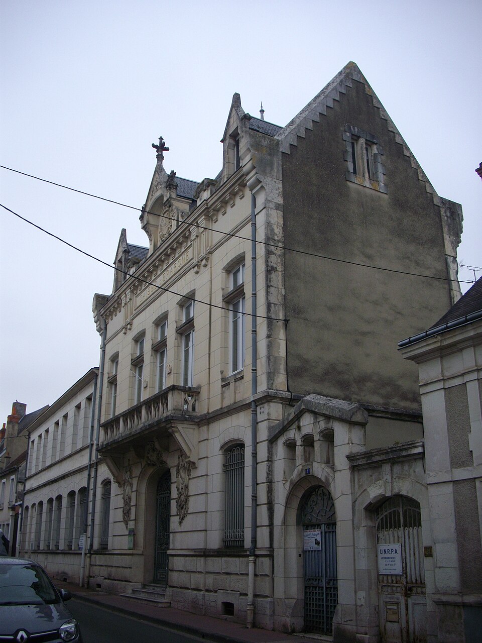
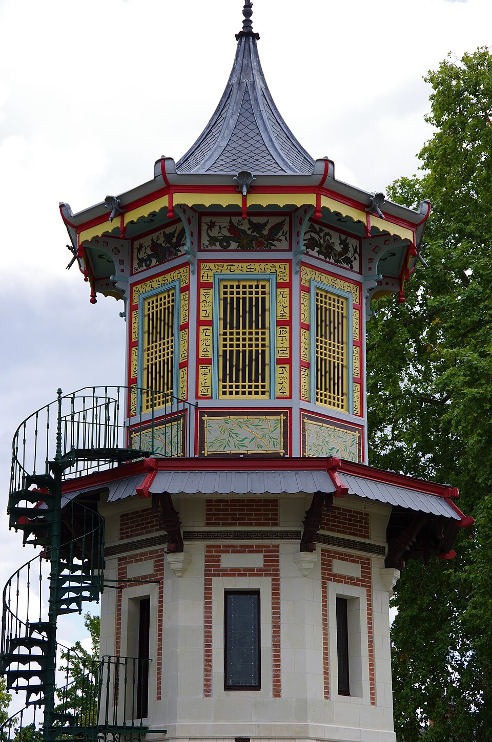
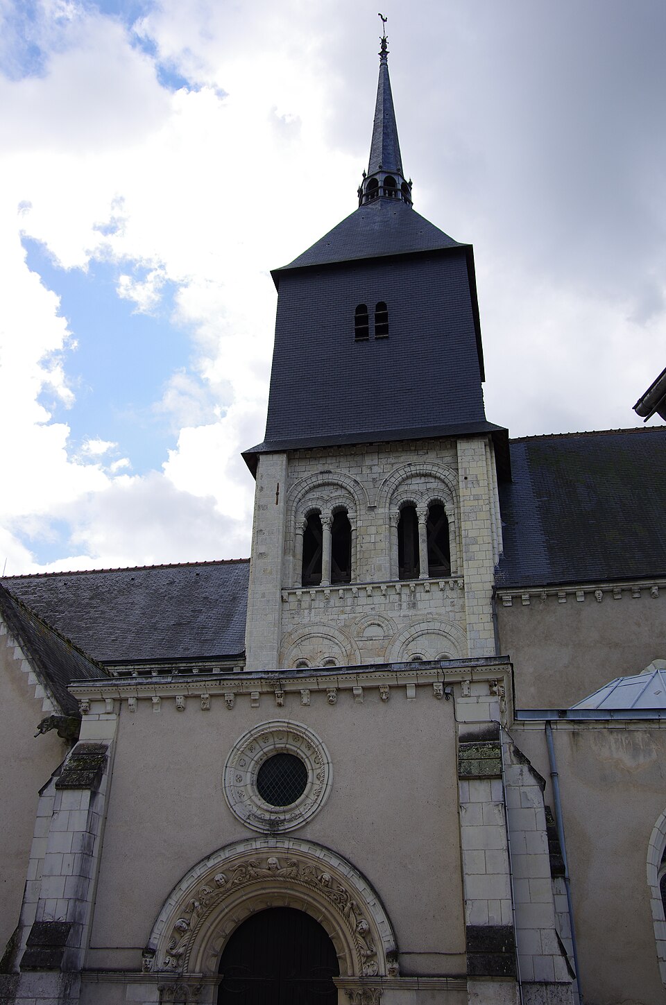
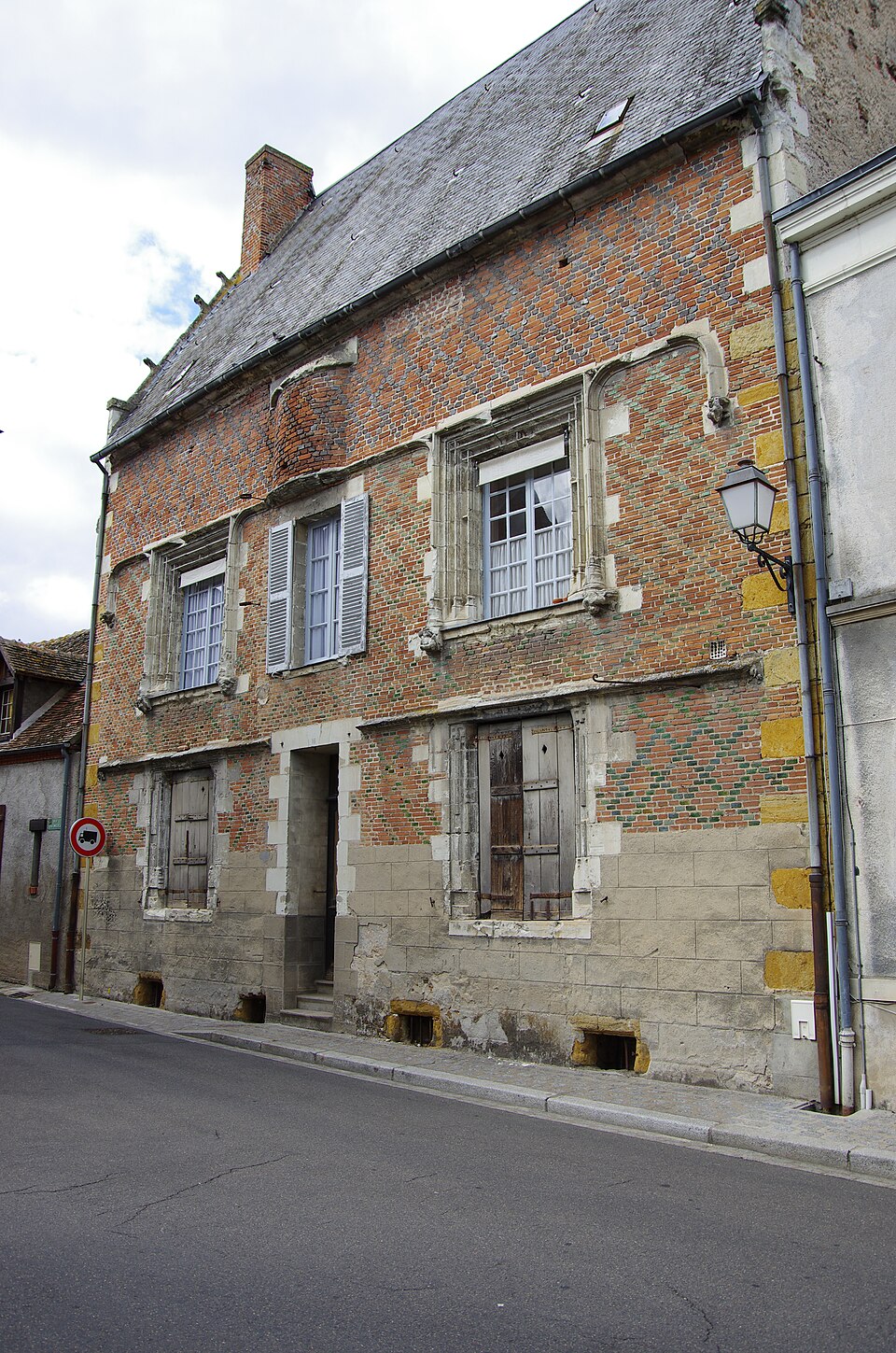
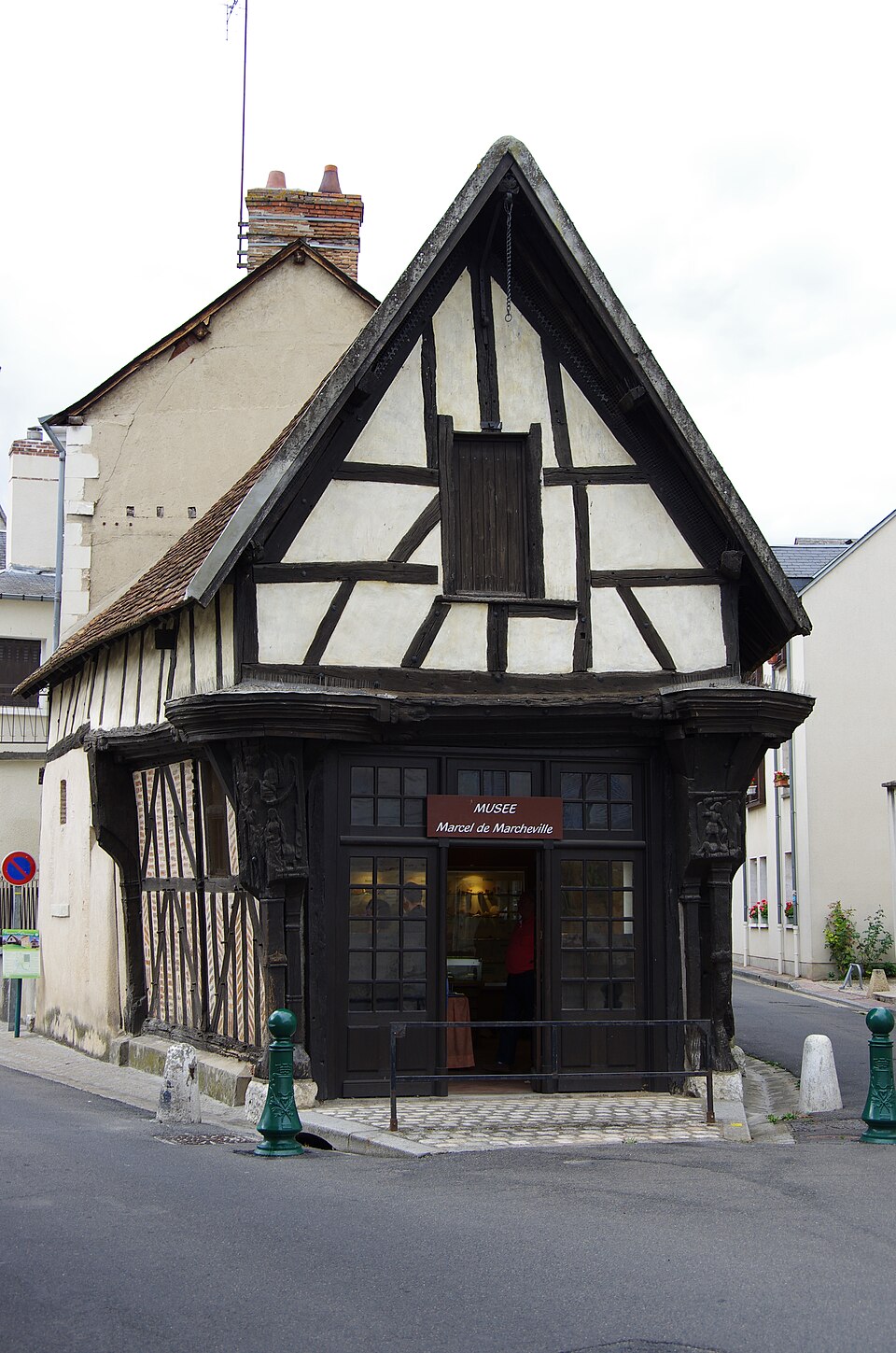
Images : blason Syryatsu (domaine public) ; photo Vincent4145 (CC BY-SA 3.0), via Wikimedia Commons.