Chaudronnerie et structures métalliques : Châtillon-la-Palud
1 fiche, par ordre alphabétique
Galerie : 625 photos « Chaudronnerie et structures métalliques »
Sur la carte
Châtillon-la-Palud en bref
Châtillon-la-Palud est une commune d’une superficie totale de 1401 hectares, son altitude varie entre 218 et 326 mètres.
- Population
- 1 100 hab.
- Habitants
- Chatillonnais, Chatillonnaises
- Superficie
- 14,01 km²
- Altitude
- 218 à 326 m
- Code postal
- 01320
- Département
- Ain
- Canton
- Chalamont
- Intercommunalité
- CC du Canton de Chalamont
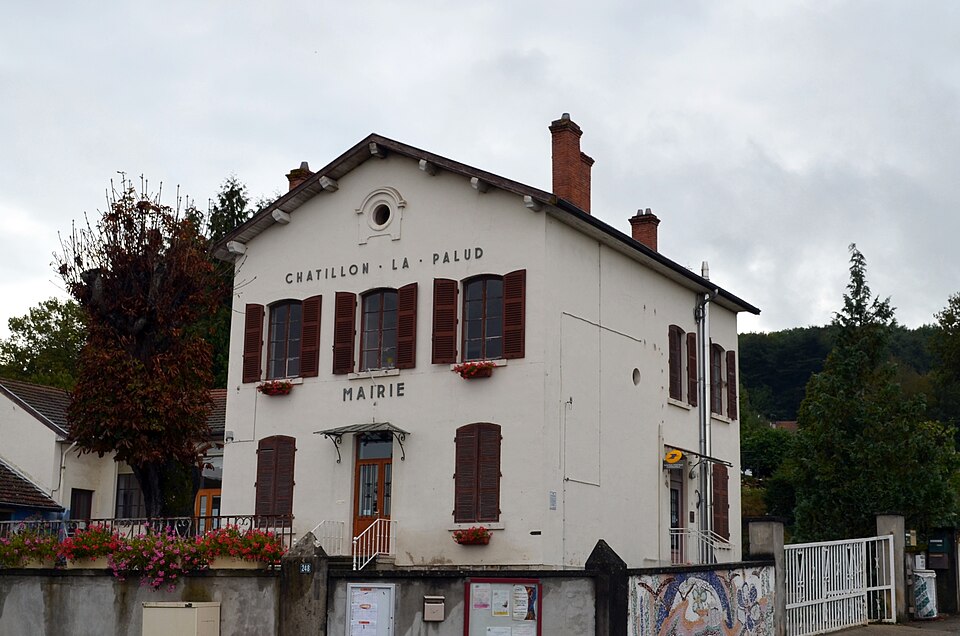
Châtillon-la-Palud en images
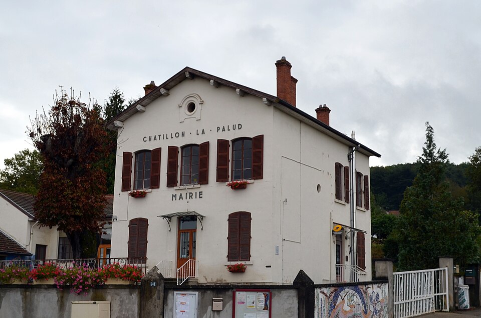
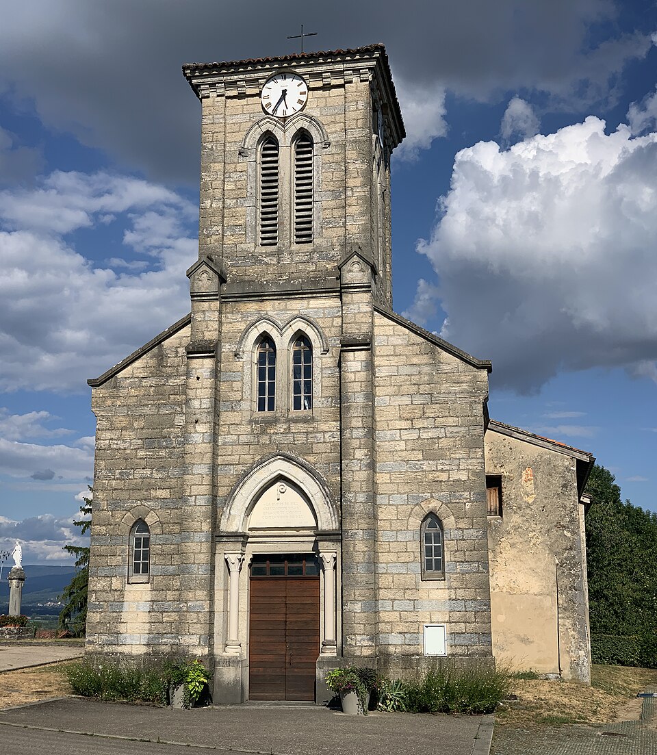
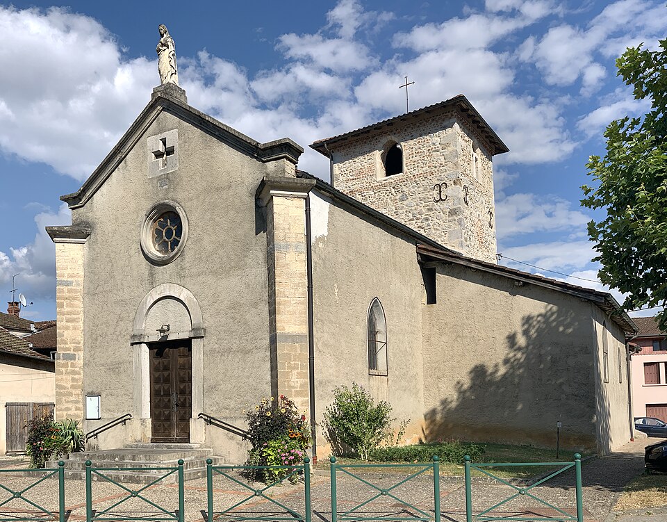
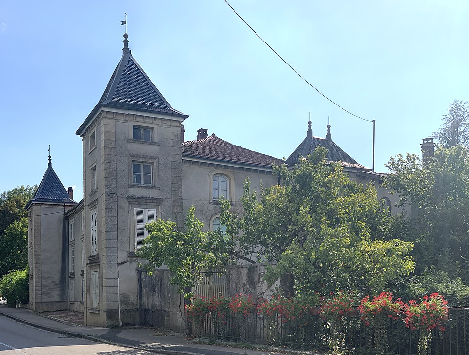
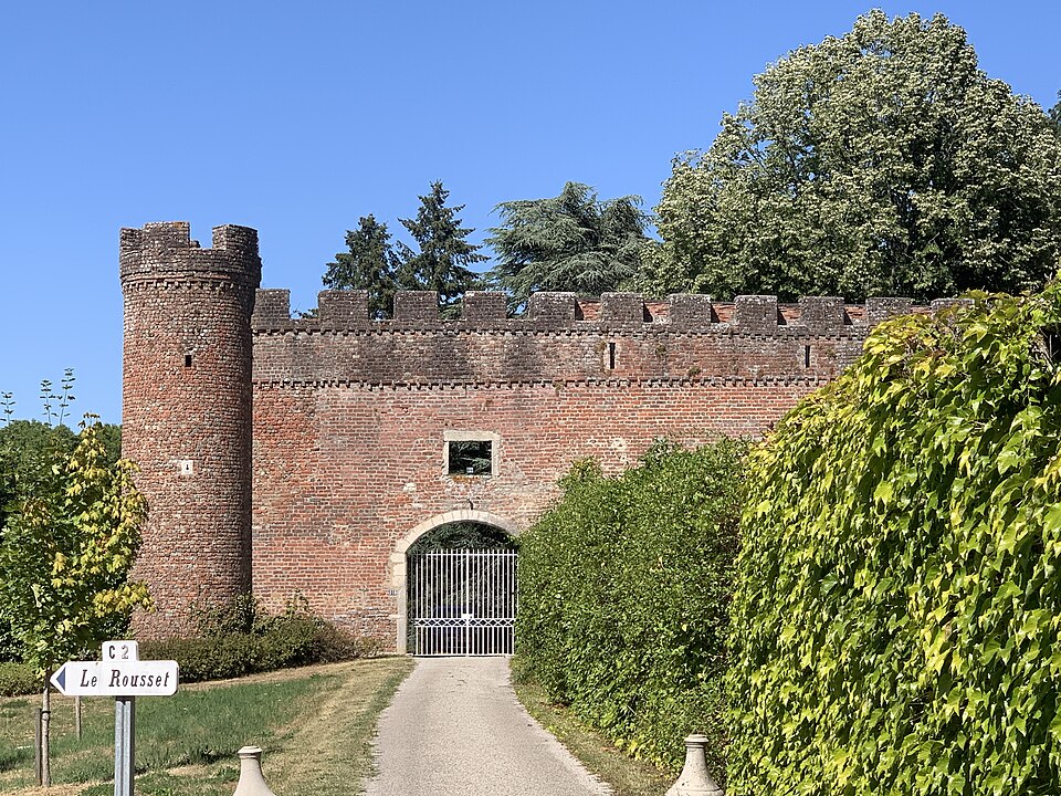
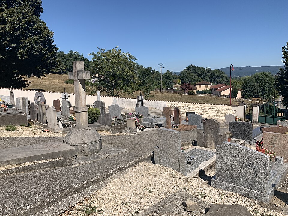
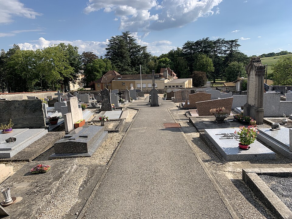
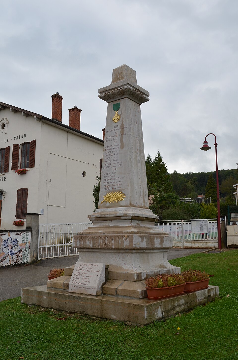
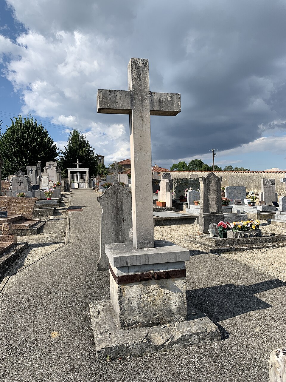
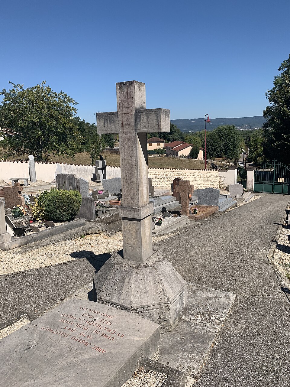
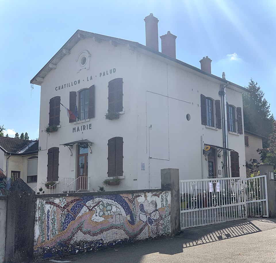
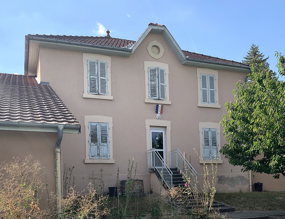
Images : blason Wikimedia Commons (CC BY-SA 3.0) ; photo Benoît Prieur (CC0), via Wikimedia Commons.